


Our Services
Bathymetric & Drone Surveys
River, lagoon, and harbour mapping with unmanned surface vessels and aerial drones.
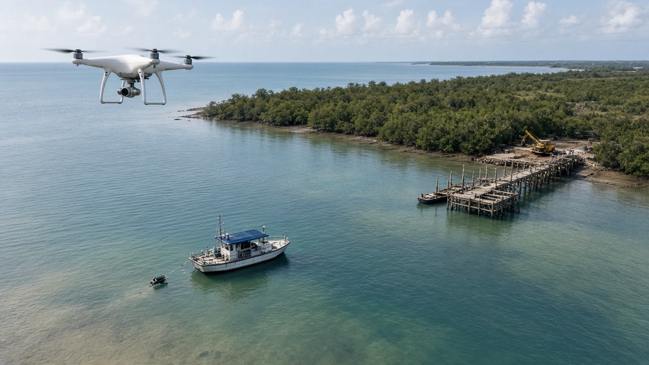
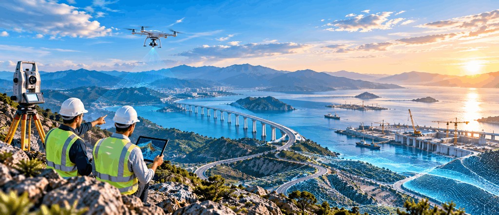
At Bhygraph Engineering, we provide bathymetric and drone-based survey services to accurately understand and map complex natural and built environments.
Our bathymetric surveys focus on the beds of rivers, lagoons, and harbour basins, providing essential information for the planning, design, and management of hydraulic and port infrastructure. Using modern unmanned surface vessel technology such as the BlueBoat and the Impact Subsea ISA500 echo sounder, we collect detailed measurements of underwater areas and generate reliable data for engineering studies.
Survey services
Our services include bathymetric mapping, river cross-sections, hydrological and hydraulic studies, and data collection supporting the design of river and port structures. Drone technology allows us to efficiently survey difficult or extensive areas while reducing the need for conventional access and field operations. Combined with our topographic, LiDAR, and engineering capabilities, these surveys provide a comprehensive understanding of both land and water environments.
Project experience
Our experience includes bathymetric surveys of the Dibamba River for CAMALCO, as well as missions in Abidjan and Congo. We have also contributed to drainage-related studies in Douala.
By combining modern acquisition equipment, experienced survey teams, and engineering expertise, Bhygraph delivers accurate and practical spatial data for infrastructure, hydraulic, and port projects. From riverbeds and lagoons to harbour basins, our bathymetric and drone surveys provide the reliable information needed to understand, design, and develop complex environments.
Start your next project
Talk to our team in Douala or request a quote online.